
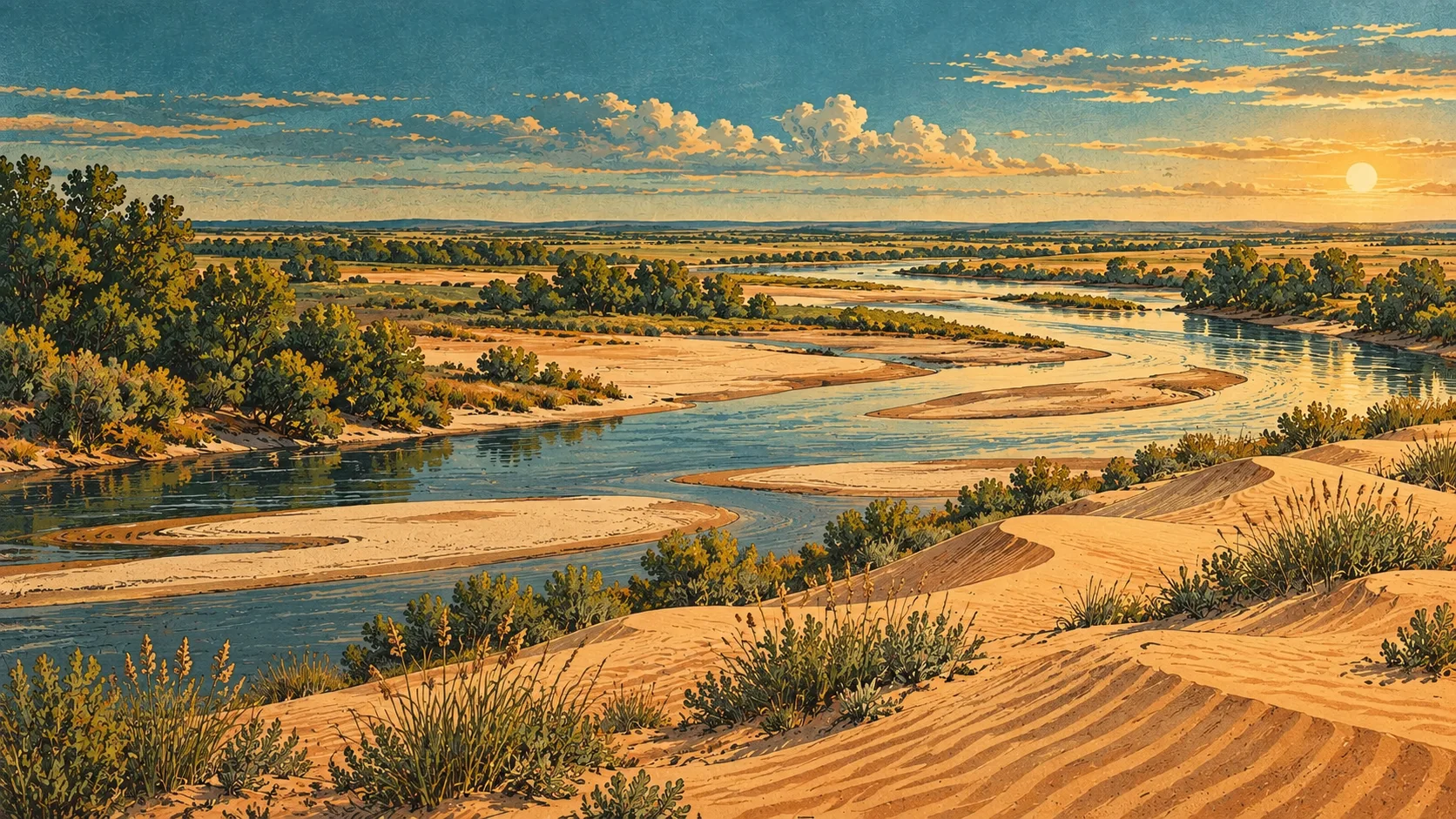
From river deposits to dunes
Oklahoma State Parks traces the sand to terrace deposits from a time when the Cimarron River crossed the area. The modern dunes rise about 25 to 75 feet.
Oklahoma State Parks landscape history · Checked September 10, 2026
Take in the landscape from the viewing area
The Buttercup observation deck provides a way to look out at the sand without entering the vehicle riding area on foot. Keep that distinction in mind when planning a visit with non-riders.
Official park viewing guidance · Checked September 10, 2026
Give the non-riders a plan too
Arrange when the riding group will return, where everyone can meet and how people will spend their time between outings. A good dune weekend works for the whole group.
Read the dunes as a former river landscape
The park connects the sand to old Cimarron River terrace deposits. The modern forms rise around 25 to 75 feet, so this is a substantial dune landscape even though the surrounding trip is through prairie country. Its material and location are different from Utah’s Little Sahara; the shared name does not make the two parks interchangeable.
Oklahoma State Parks dune origin · Checked September 10, 2026
A weekend that includes Waynoka
Oklahoma Tourism builds its Waynoka itinerary around the dunes and the town together. Leave time for a meal or a town stop outside the riding sessions, especially when the group includes people who are not riding. Keep pedestrian sightseeing at the designated observation area, not among moving machines.
Oklahoma Tourism Waynoka itinerary · Checked September 10, 2026
Independent visitor guide. Published by MCKINNEY DIGITAL HOLDINGS LLC. Not affiliated with or endorsed by Little Sahara State Park.
Sources reviewed September 10, 2026. Current agency notices and on-site signs control.