
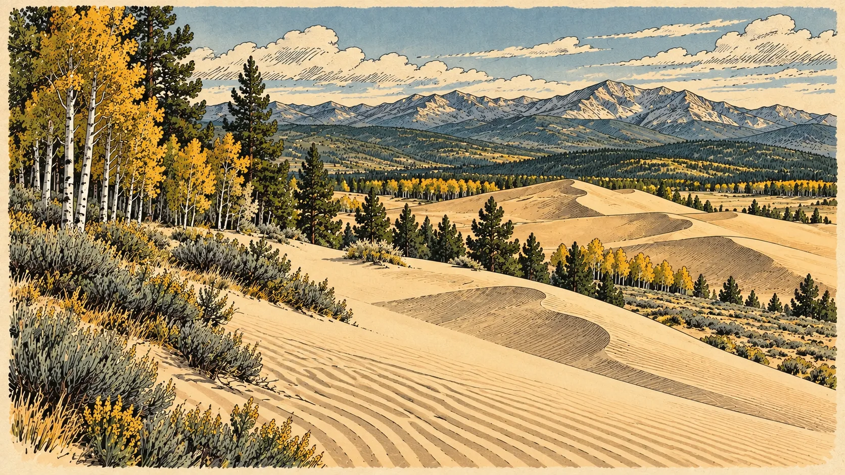
Wind-shaped land in a cold climate
BLM identifies North Sand Hills as a cold-climate wind-deposited sand landscape, with parabolic dunes and archaeological sites. The sand is one part of a place with both natural and cultural significance.
BLM landscape description · Checked September 10, 2026
Why the creek matters
BLM links motorized-use restrictions near North Sand Creek to reducing sediment entering the water. Preserving those edges helps protect the landscape that supports the recreation area.
BLM stewardship guidance · Checked September 10, 2026
Look closely, leave the evidence
Enjoy the patterns in the sand and the changing mountain light. Leave objects where you find them and use the area map to distinguish sightseeing opportunities from riding access.
The dune shapes are part of the interest
BLM describes two large parabolic dunes with smaller dunes moving up their windward slopes. This is a cold-climate, wind-deposited sand system. Look at the curves and the boundary between moving sand and established vegetation; those features tell more about the place than a generic desert label.
The adjacent Instant Study Area and archaeological sites are part of its conservation value. An open riding patch is not permission to cross every vegetated edge. Keep the official map with the trip plan and leave archaeological material where it lies.
BLM landscape and cultural description · Checked September 10, 2026
Why the creek edge is managed differently
In 2019 BLM described North Sand Creek as impaired by sediment and proposed measures addressing vehicle-related erosion. Keeping wheels out of protected creek areas is directly connected to water quality, not simply a line on a map.
BLM sedimentation plan, 2019 · Checked September 10, 2026
Independent visitor guide. Published by MCKINNEY DIGITAL HOLDINGS LLC. Not affiliated with or endorsed by BLM Kremmling.
Sources reviewed September 10, 2026. Current agency notices and on-site signs control.