For the camp
Make a list for groceries, water, fuel and warmer layers. Plan the Walden stop before heading down the county roads.
Plan supplies & meals →
Find room for a town meal, a comfortable stay and the supplies your crew needs.
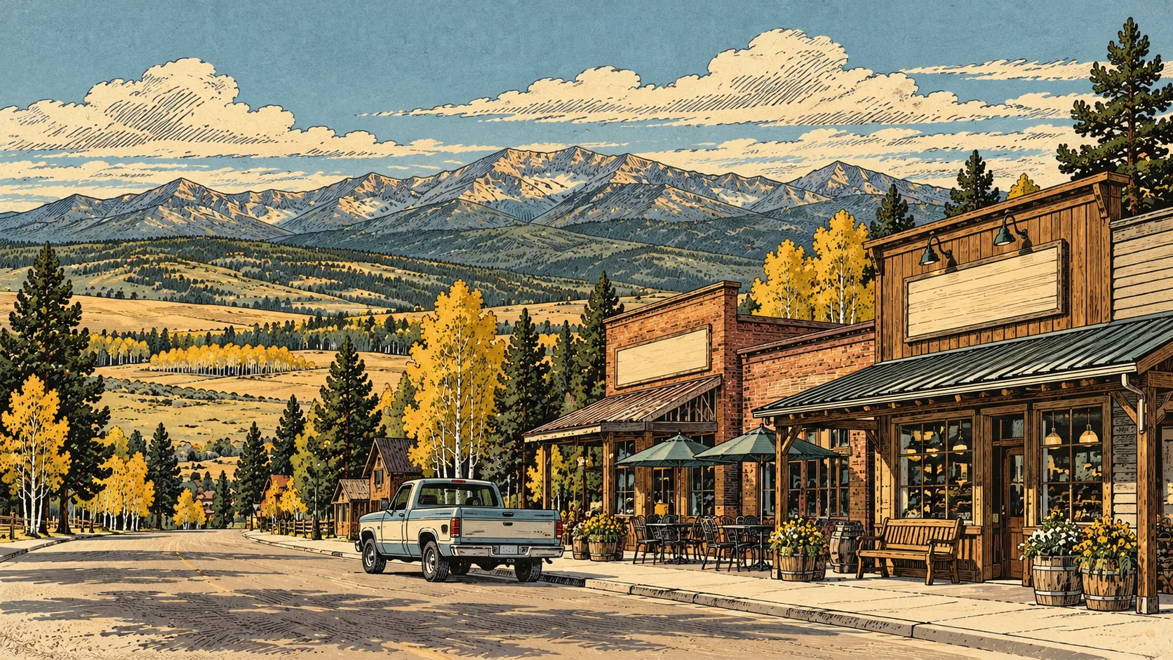
Choose services along your route, confirm hours and arrangements directly, and save the useful details with your trip.
Make a list for groceries, water, fuel and warmer layers. Plan the Walden stop before heading down the county roads.
Plan supplies & meals →Choose a dune-area camp or arrange your own off-site lodging. Keep a backup and the meeting point in your plan.
Explore camping →Arrange rentals, repairs or equipment before traveling. Confirm pickup times and Colorado OHV requirements.
Add your arrangements →Local Business Listing and both higher packages include a paid listing with your photo or logo, description, contact information and website. These examples are available advertising spaces, not business recommendations.
Help visitors choose their next stop.
See packages & pricing →Help visitors choose their next stop.
See packages & pricing →Help visitors choose their next stop.
See packages & pricing →Help visitors choose their next stop.
See packages & pricing →Help visitors choose their next stop.
See packages & pricing →Help visitors choose their next stop.
See packages & pricing →Introduce your business while the crew is still planning. Town listings and relevant Trip Planner positions are paid placements.
View packages & pricing →Emergency: call 911. Give the dispatcher your actual location and access road. Follow dispatch instructions about transport.
UCHealth Yampa Valley Medical Center: 1024 Central Park Drive, Steamboat Springs, Colorado. Hospital information: 970-879-1322.
This is a regional facility reference, not a claim of the shortest route from every campsite. Route distance and receiving facility depend on your exact location and road conditions.
UCHealth emergency department · Checked September 10, 2026
Independent visitor guide. Published by MCKINNEY DIGITAL HOLDINGS LLC. Not affiliated with or endorsed by BLM Kremmling.
Visitor planning sources checked October 19, 2026. Current agency notices and on-site signs control.