Summer highs: 100–120°F
BLM describes frequent strong winds and winter nights that can fall below freezing.
NWS point forecast ↗ · Seasons →
A forecast helps you plan. It does not confirm the road, river crossing or riding area is open.
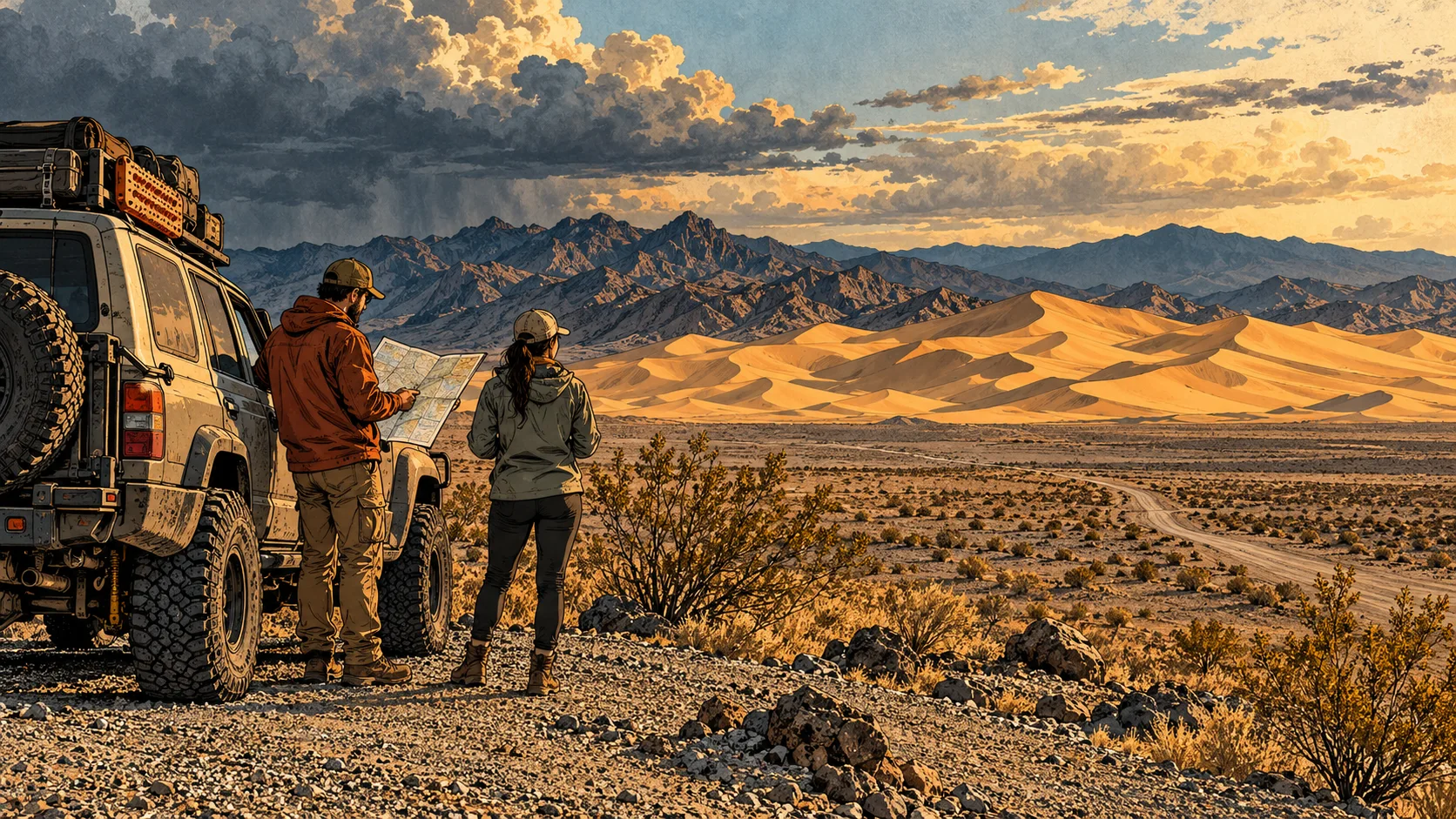
BLM describes frequent strong winds and winter nights that can fall below freezing.
NWS point forecast ↗ · Seasons →Bring water and layers. Read the NWS warnings before committing to a ride.
NWS warnings ↗Weekly and season passes cover entry. Little Dunes is beside Highway 127; the main-dunes approach crosses the Amargosa River.
BLM Barstow notices ↗Match your entry pass and California OHV paperwork to your trip.
Highways ↗ · Fees & rules →BLM names Baker, Shoshone and Pahrump for food, fuel and most necessities. No live station prices here.
Towns & services →Local planning facts shown above. A fresh NWS forecast and alerts replace the weather text when available.
The console requests the National Weather Service forecast for the BLM destination point. It shows a forecast period, not an on-site weather-station observation. Check the full forecast before departure and again when conditions change.
Use Caltrans for state highways, BLM for recreation-area access and restrictions, and NWS for weather hazards. A clear highway report does not verify the unpaved access road.
Save the useful information while you have a connection. If the feed cannot be retrieved, use the official links below rather than assuming conditions are unchanged.
Independent visitor guide. Published by MCKINNEY DIGITAL HOLDINGS LLC. Not affiliated with or endorsed by BLM Barstow.
Sources reviewed September 10, 2026. Current agency notices and on-site signs control.