Water comes with you
No potable water is supplied. Plan the ride length around the point forecast.
NWS point forecast ↗ · Seasons →

Cottonwoods. Open sand. New Mexico.
A better way to plan the whole adventure.
A ride through the dunes, a simple base camp and a meal with the crew. Put the pieces together before you turn off the highway.
Set your dates and crew size. Choose a base, add riding time and town stops, then plan camp meals and groceries. Every day starts with your choices.
Free to use. No account. Saved in your browser.
An example of what you can organize. You choose the itinerary.
Featured Local Partner includes a rotating homepage advertisement, a Towns & Services listing and paid Trip Planner placement. These examples show the space, not active advertisers.
Build the supply stop into your day.
Mescalero is a bring-what-you-need destination. BLM lists no potable water on site. Choose your fuel, groceries and meal stops before heading out along US 380.
Towns & services →No potable water is supplied. Plan the ride length around the point forecast.
NWS point forecast ↗ · Seasons →Quartz dunes shift under prevailing southwest winds. Scout the first loop.
NWS warnings ↗BLM lists year-round use and no potable water. Temporary restrictions remain separate from that regular schedule.
BLM Roswell notices ↗BLM currently lists $5 vehicle day use. Verify the posted fee and state OHV requirements.
Highways ↗ · Fees & rules →BLM points riders to Tatum or Roswell for food and gas. No live station prices here.
Towns & services →Local planning facts shown above. A fresh NWS forecast and alerts replace the weather text when available.
BLM Mescalero Sands visitor information · Checked October 19, 2026. Confirm current notices and prices before travel.
BLM identifies the northern, middle and southern parking areas for RV camping. Keep ordinary road vehicles on established access surfaces; the soft dunes require sand-capable machines.
Read the camping guide →Bring drinking water, cooking water, fuel, food and a way to pack out trash. Plan your crew’s meals before you shop.
Put the supplies in your trip →No. This is a personal planning tool. Check current BLM access, camping instructions and notices directly before departure.
Yes. Your dates and group size connect to the shared Dune Guide USA Meal Planner. Attach meals and a grocery list to the same trip.
BLM Mescalero Sands visitor information · Checked October 19, 2026. Confirm current notices and prices before travel.
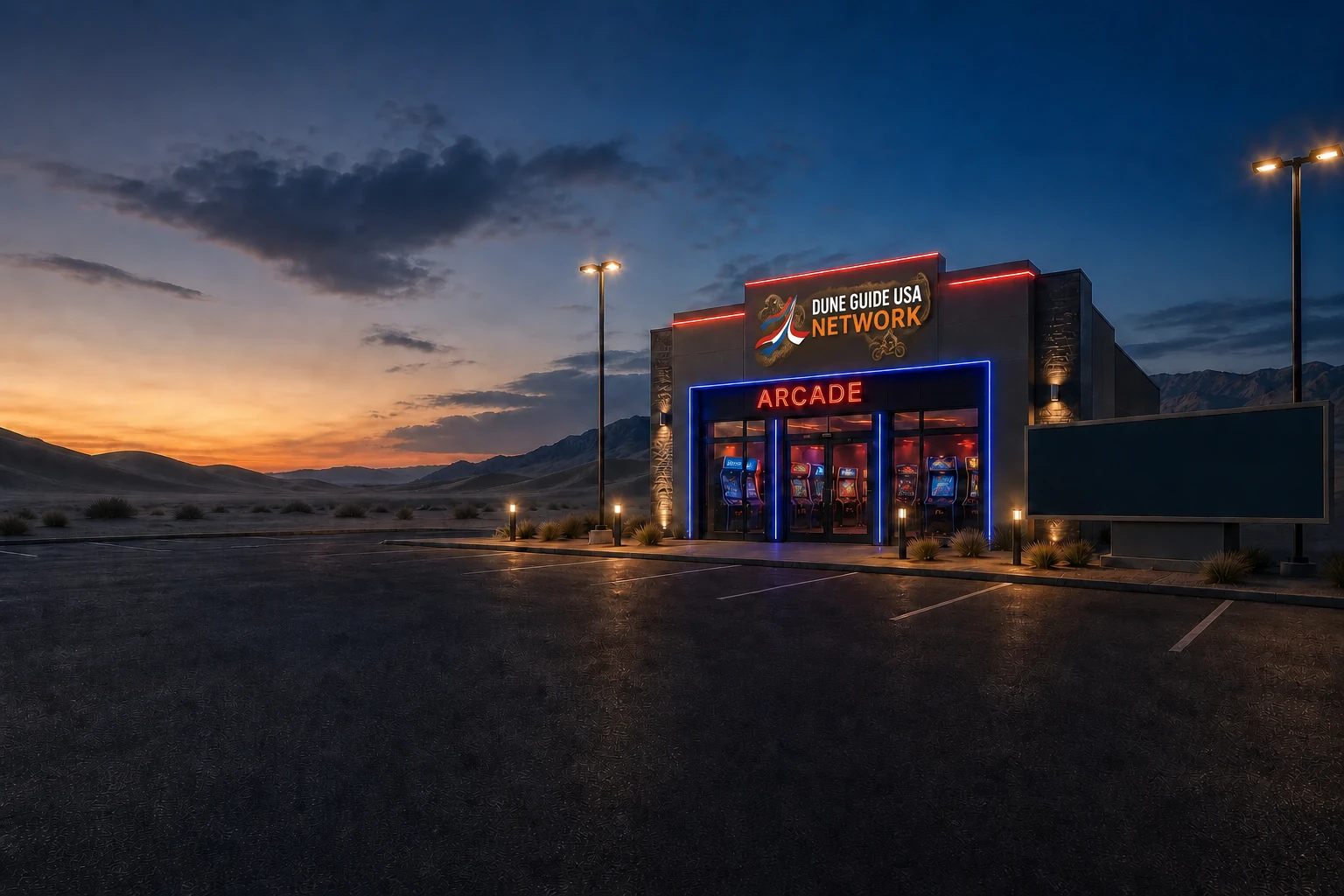
Pick a ride and explore the network’s available virtual adventures before the real weekend begins.
Enter the free Arcade →Play in your browser. Virtual adventures do not replace current maps or riding rules.

Save camp before you ride. Camp Compass uses your phone’s GPS to show the distance and direction back, even beyond cell service.
Set it up before the trip. Installation needs a connection. Save your actual camp location when you arrive.
Read and share Camp Compass stories →Independent visitor guide. Published by MCKINNEY DIGITAL HOLDINGS LLC. Not affiliated with or endorsed by BLM Roswell.
Visitor planning sources checked October 19, 2026. Current agency notices and on-site signs control.
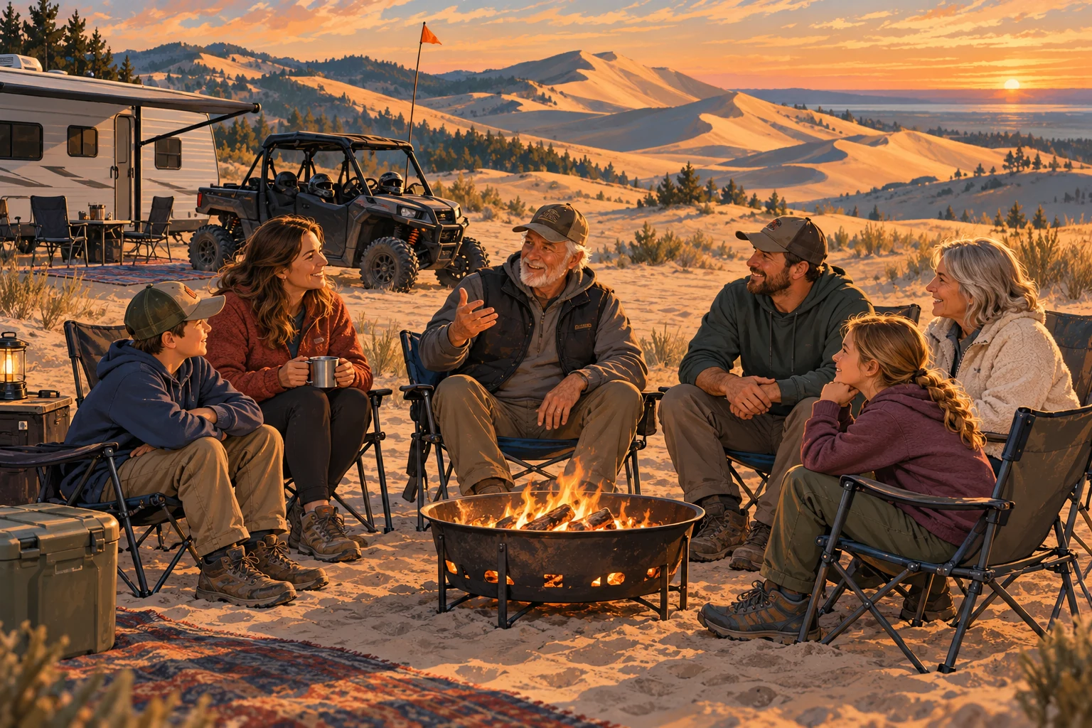
STORIES FROM THE DUNES
The people behind the trips.When someone breaks down in the dunes, another rider gives up a little of their own day to help. That spirit is a big part of why I built Dune Guide USA.
Read the story →